

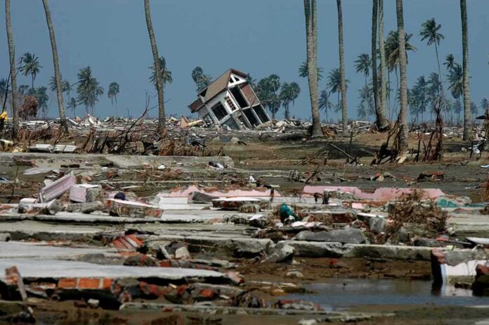
A 7.7-magnitude earthquake tore through the sea off Indonesia’s Flores Island early Saturday, killing at least two people and sending a tsunami warning racing across five coastal regions before it was lifted just hours later.
Story Snapshot
- A 7.7-magnitude quake struck off Flores Island’s north coast at a shallow depth of 15 kilometers.
- Indonesia’s weather agency, BMKG, issued tsunami warnings for Maluku, East and West Nusa Tenggara, and South and Southeast Sulawesi.
- At least two people died, and hundreds of residents fled to higher ground.
- The warning was lifted two to three hours later after waves under one meter were recorded.
Quake Strikes Flores, Warning Goes Out Fast
The earthquake hit early Saturday morning local time, centered north of Ende in the Flores region of eastern Indonesia. The United States Geological Survey (USGS) confirmed the 7.7 magnitude and shallow depth, warning that “some casualties and damage are possible” and that the impact would likely stay localized. Indonesia’s Meteorology, Climatology, and Geophysics Agency, known as BMKG, issued a tsunami warning within minutes for coastal communities across the region.
The warning covered a wide stretch of coastline, including Maluku, East and West Nusa Tenggara, and South and Southeast Sulawesi. The U.S.-based Pacific Tsunami Warning Center also flagged the hazard based on early earthquake data, a standard step when a quake this size strikes near the ocean floor.
Residents Flee as Damage Reports Emerge
Video from the scene showed buildings shaking and residents running from homes near Maumere as the ground moved. Hundreds evacuated toward higher ground, following official guidance to stay off beaches and away from low-lying coastal areas. Al Jazeera reported at least two deaths tied to the quake, with authorities continuing to assess damage across affected towns and villages.
China’s state news agency Xinhua confirmed the epicenter’s location off Flores Island’s northern coast and noted the shallow 15-kilometer depth, a factor that tends to produce stronger shaking near the surface. Shallow quakes like this one often cause more visible damage to buildings and infrastructure than deeper quakes of the same magnitude, even when centered offshore.
Warning Lifted as Waves Stay Small
BMKG canceled the tsunami warning roughly two to three hours after the quake, once monitoring stations confirmed sea levels had not risen to dangerous levels. Reuters reported that tsunami waves under one meter, or about three feet, reached several coastal areas before the all-clear came. That pattern of a fast warning followed by a quicker cancellation reflects how Indonesia’s tsunami alert system is built to work.
Indonesia Earthquake Today: 7.7 Quake Strikes Flores, Tsunami Waves Reco… https://t.co/SC8A7mykZL via @YouTube Indonesia Earthquake Today: 7.7 Quake Strikes Flores, Tsunami Waves Recorded.
— ferdinand co (@ferdinandco11) August 15, 2026
Agencies like BMKG issue initial warnings within about five minutes of a major quake, relying on seismic data and modeling that carries real uncertainty at that early stage. Research on warning systems shows this tradeoff is unavoidable: waiting for fully confirmed ocean data can take too long to help evacuations, so agencies lean toward early caution even though it raises the odds of a false alarm. Indonesia’s system has faced criticism in past disasters for lifting warnings too soon, a tension that continues to shape how officials balance speed against certainty. For families near Flores, the quick warning and quick cancellation this weekend meant hours of uncertainty before residents could safely return home.
Sources:
rri.co.id, aljazeera.com, abs-cbn.com, reuters.com, inatews.bmkg.go.id, nypost.com, earthquake.usgs.gov, yahoo.com, nctr.pmel.noaa.gov, pmc.ncbi.nlm.nih.gov, inatnt.bmkg.go.id
© truetrendnews.com 2026. All rights reserved.